Saturday, July 13, 2013

Greider Lakes

Today is the EXACT reason why I LOVE the Pacific Northwest and precisely the reason I started this blog. It was an absolutely perfect day for hiking. Blue skies and 75ยบ with a light breeze.

This morning I was headed toward Greider Lakes. The trails to Greider Lakes and Boulder Lake now start at Spada Lake. You hike along an old closed road for 2 miles before you get to the old trail heads of Greider Lakes and Boulder Lake. The road from Spada Lake to the old trail head is gravel and mostly flat except for the constant gullies that have been constructed to make it impassible by vehicles. This part of the trail could make for decent trail running and even possibly mountain biking if you don't mind dismounting every so often for the deep gullies and downed trees. (I think I might try biking it next time just to make it a quicker trip.) Don't forget to check out the Spada Lake overlook as you hike along this road en route to either Greider Lakes or Boulder Lake.


Once you reach the old trial head of Greider Lakes you start hiking on a VERY overgrown trail. You notice almost instantly this trail has been neglected for quite some time. After a few hundred yards you get out of the heavy brush and the trail opens up a little bit. The trail conditions go from compact dirt to rocks/small boulders and large tree roots all while navigating over/under/around several downed trees. You climb approximately 1500 feet in about 1.5 miles. After you reach about 2900 feet you continue for another .5 mile or so until you reach Little Greider Lake.


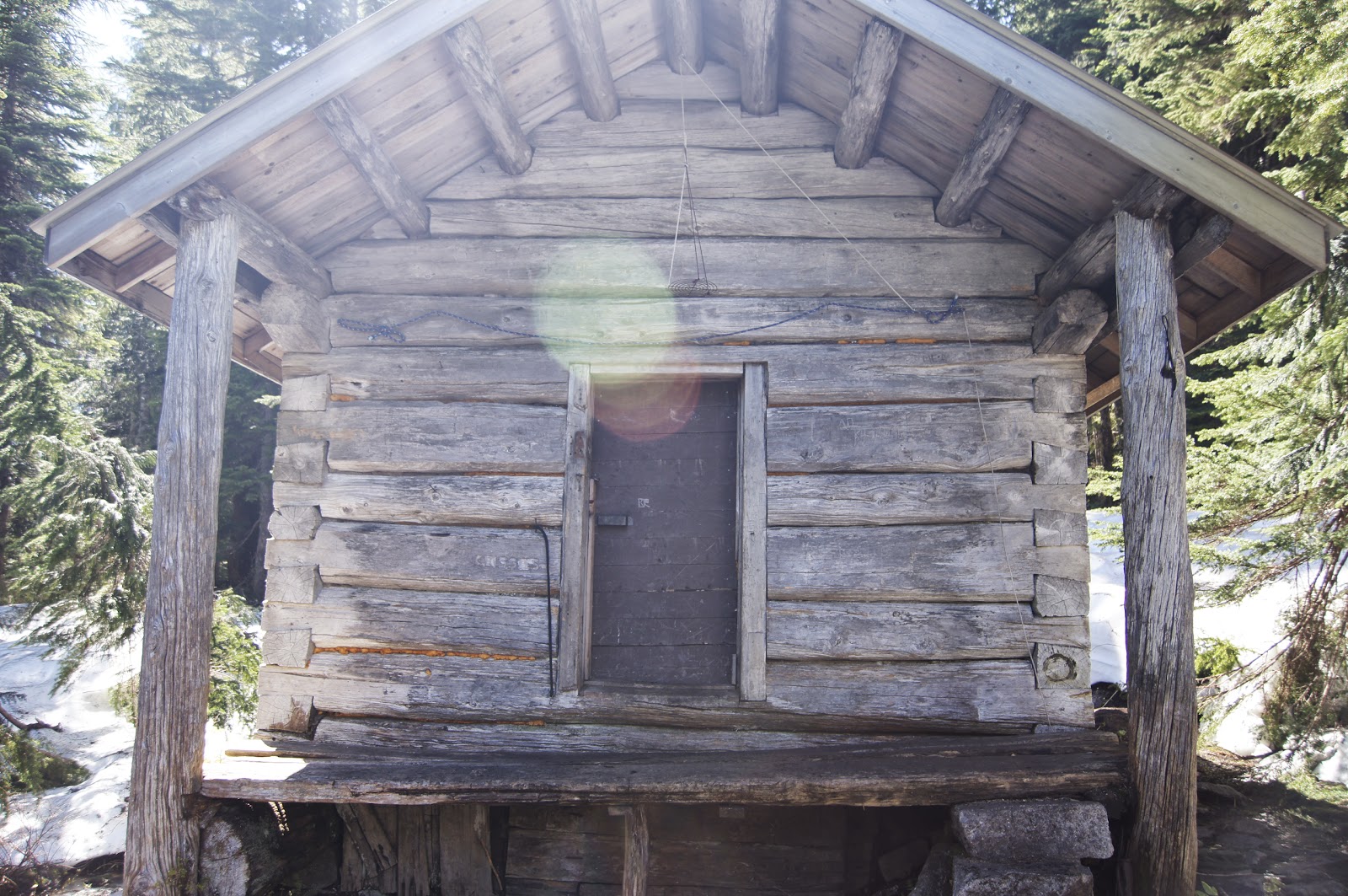
Little Greider Lake was nice and quiet. I was the only one there; there were no other cars in the parking lot when I arrived. I knew I was the only one up there, but I did find two tarps and a tent...very strange. I don't know how someone could manage to leave behind their tent. There were about 4 established campsites at Little Greider Lake.


Then I continued on to Big Greider Lake. Big Greider also has a few established campsites for camping overnight. The trail from Little Greider to Big Greider is a short hike but VERY VERY overgrown. Its doable but just be very cautious of your footing, because its hard to see where you are stepping. But I must say I was very glad I went, it was the most peaceful time I've had in a long time. I enjoyed a nice beautiful hike down passing only 5 parties totally 17 people on my way out. This is truly one of the forgotten trails of the region.


Region: Central Cascades, Stevens Pass-West
Distance: 5.2 miles
Elevation Gain: 1500 feet
Peak Elevation: 2970 feet
Difficulty: Medium
Pass Requirement: None (I think). You do have to register your vehicle at a registration area, and display that on your dash while you're there, but there is no charge.
Vegetation: All kinds including ferns, moss, mushrooms, sticker bushes, skunk cabbage, wildflowers, deciduous and conifer trees.
Water Source: Trail begins and Spada Lake, you hike along Spada Lake for 2 miles on an old road elevated from the lake. You cross a few creeks along this road and leave the road just as the lake connects with Sultan River. Little and Big Greider Lake 4.5 and 5 miles respectively.
Wildlife: Lots of birds, frogs, slugs, various insects. Lots of fish in the lake.

As always check out all the photos of the hike and every hike by clicking on the "Photos" tab.

Friday, July 5, 2013

Mount Pilchuck Search and Rescue

Well my plans to go on a hike to Greider Lakes was foiled by a call to go out on a search and rescue mission. We went up to Mount Pilchuck to pack out an injured hiker at about 8:00 pm Friday night. Ended up escorting his 2 uninjured buddies down at about midnight. Went back up to the injured hiker with hypothermic gear and stayed the night on the mountain and waited till first light for a helicopter rescue.

Here is an article about it.

Region: North Cascades-Mountain Loop Highway
Issue: Injured hiker-pack out
Mission Length: 15 hours

Thursday, July 4, 2013

Eagle Lake

What better place to go than the lake named after the National Bird of The United States of America on our nation's Independence Day. Eagle Lake on the 4th of July. This lake is a less-known and even less-visited lake situated between Baring Mountain and Townsend Mountain near Skykomish.


There are two different ways to get to Eagle Lake. One way is by taking the Barclay Lake trail and then going up to Eagle Lake, this way is easier to find and get to as Barclay Lake is pretty well known and accessible. But the hike from Barclay Lake to Eagle Lake is extremely difficult (from what I've heard, I've never gone that way.) The other way (which is how I went today) is much more difficult to find and access. It is accessed through a variety of gravel forest roads and there is no marked trail head. But the hike to Eagle Lake is easier.


First off the trail was difficult to see form the forest road, luckily there was already one truck parked right where the trail started so we had a good idea where to look. The first half mile or so of the trail was very narrow and overgrown. Which made it especially difficult for me as I was hiking with my 16 month old girl on my back, and I had to be sure and not let branches whip her in the face. (I was also hiking with my wife and brother.) After the overgrown area of the hike the trail still remains narrow and you begin to hike under trees that shade most of the entire trail. The trail climbs steadily for the first mile or so all on a trail that is covered in tree roots and uneven terrain. There were a few blow-downs on the trail as well that required climbing over or around. The trail was almost entirely dry until you reached the top.


Toward the top the trees open up and a little snow is left in some areas. The snow is melting due to the hot weather which means a lot of the open areas are swampy and muddy. Plus once you reach the opening in the trees you are close to the lake and Eagle Creek is flowing right next to the trail so that causes a lot of wetness in the area. Because of the snow it was hard to tell where the trail was exactly, but it was easy enough to know where you are going. So we just headed for the lake.


The lake was pretty majestic. Nestled a midst mountain peaks and trees it is truly a secluded gem. The lake has 2 campsites for those wishing to camp overnight. There was a dad and his daughter who was about 10 years old camping there and they said the fishing was great. And perhaps the coolest part about the lake is a cabin right on the lake front fully stocked with clothes, sleeping bags, lanterns, cooking ware, stoves, propane, axes, saws and even a fireplace. It was really quite awesome.

Region: Central Cascades, Stevens Pass-West
Distance: 2.3 miles
Elevation Gain: 620 ft
Peak Elevation: 3970 ft
Difficulty: Easy
Pass Requirement: None, you're out in the middle of nowhere. No established parking or trail head.
Vegetation: Lots of trees for shade throughout the hike, undergrowth including berry plants, ferns, moss and grass in the fields at the top.
Water Source: Eagle Creek and Eagle Lake about 2.3 miles in.
Wildlife: Lots of birds, a few mosquitoes, frogs, deer track and bear signs. Lots of fish in the lake.

As always check out all the photos of the hike and every hike by clicking on the "Photos" tab.